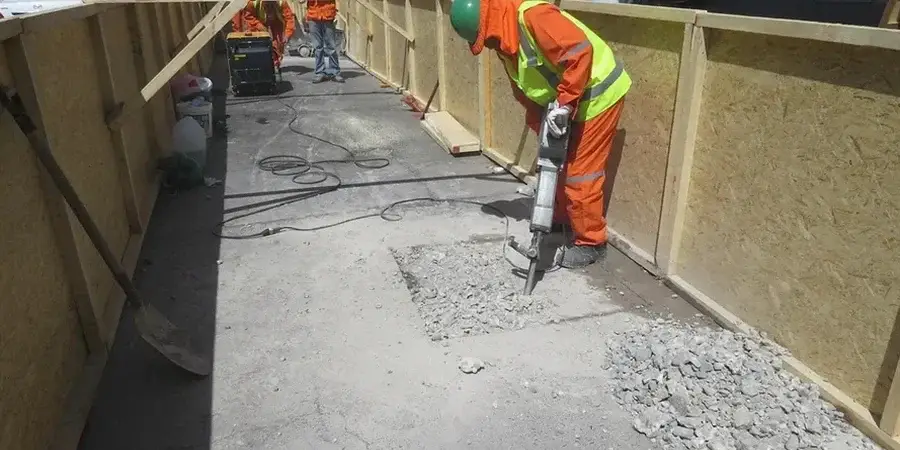
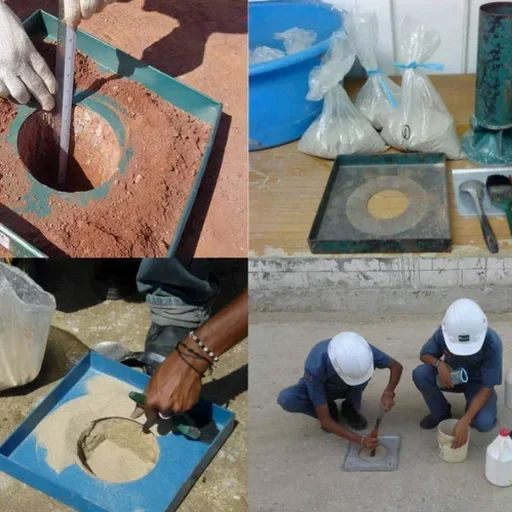
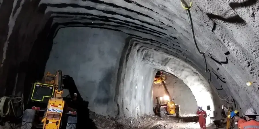
Slough sits just 32 metres above sea level, on a sequence of London Clay, Reading Beds and Quaternary gravels that has challenged tunnelling projects from the Jubilee Line extension to the modern Thames Water ring main. When you propose a soft ground tunnel beneath the trading estate or the M4 corridor, the first question is not about the TBM diameter — it is about the undrained shear strength of the clay at crown level and the pore pressure in the Harwich Formation sand lenses. A rushed desk study will not answer that. The test pits we open at the portal locations deliver intact block samples, while downhole geophysics picks up the thin water-bearing horizons that a borehole log alone can miss. The team works to BS 5930:2015+A1:2020 and the ground investigation provisions of Eurocode 7 (BS EN 1997-2), so the data package holds up under technical review by the checking engineer appointed under the CDM Regulations. Slough's industrial legacy means made ground is everywhere — up to 4 metres of fill containing brick, ash and sometimes hydrocarbons — and you need a geotechnical model that separates that anthropogenic signature from the natural strata before anyone assigns stand-up time or face support pressure.
The geotechnical model for Slough must distinguish London Clay from Langley Silt and Harwich Formation water pockets — a single Su value for the whole drive is a schedule risk, not a design parameter.